This guide is intended to facilitate a realistic understanding of travel at ‘Souls. Places on a map that seem close together may actually be many, many miles apart — even if a pack seems like it’s right next to another, your character probably can’t walk for ten minutes and encounter that neighboring pack’s borders!
Travel Within ‘Souls
Realistic travel within ‘Souls is important — you can’t say your character is down in the south of Nova Scotia one day and all the way in the extremes of New Brunswick the next day. It would take a lot longer to travel that kind of distance. When traveling within ‘Souls, characters are impeded primarily by the shape of the land. The Isthmus of Chignecto, between Nova Scotia and New Brunswick, provides one bottleneck, while the distance between northern and southern extremes of Nova Scotia is exacerbated by the peninsula’s diagonal placement.
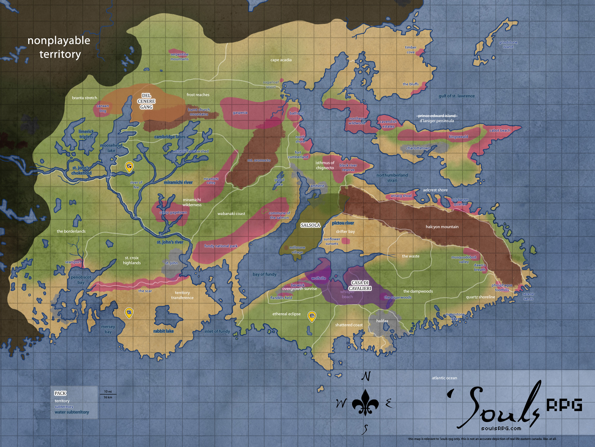
If you want to approximate the distance between two points using the game map:
- Look at the main area map when trying to figure out distances. The map has squares. Each square is ten sq/mi (16 sq/km). Heading due east or west across a square is ten miles of travel.
- Count the squares on the map between your two points of arrival and departure. You don’t have to whip out a ruler and measure it, but try to be accurate.
- Look at the charts below for your character’s chosen mode of travel. Grab the travel speed in miles per hour.
- The time it takes for your character to travel that distance without stopping:
(# squares traveled x 10 mi) / (travel speed in miles per hour) = hours traveled
- The above is calculated assuming your character does not rest. This is obviously not indefinitely sustainable — your character can push themselves to the point of collapse/exhaustion to get somewhere really fast, yes, but resting is necessary/advisable for most trips.
- If the number of hours traveled is more than 15-18, your character will need to rest.
- Rest periods of seven to eight hours are normal for Luperci travel. Again, you can reduce this to get a blistering pace, but that requires a reason and should be realistically played!
Modes of Travel
Self-Reliance
Most canines prefer to travel on foot. And why not? They’re fast and typically have the endurance to walk or run for several hours without rest.
Reminders
- These are only averages.
- Take into account injuries or other impediments to fast travel, such as bad weather, dangerous terrain, packs, and bodies of water.
- If long distance traveling, take into account time for rest, sleep, hunting, etc.
- While the Secui form is a Luperci’s fastest form, it is also the form with the least endurance!
Average Wolf Speeds |
|||
| Walking | Trotting | Running | |
| Lupus | 4 mph (6 km/h) | 8 mph (13 km/h) | 32 mph (51 km/h) |
| Secui | 6 mph (10 km/h) | 10 mph (16 km/h) | 36 mph (58 km/h) |
| Optime | 3 mph (5 km/h) | 10 mph (16 km/h) | 15 mph (24 km/h) |
Average Coyote and Jackal Speeds |
|||
| Walking | Trotting | Running | |
| Lupus | 4 mph (6 km/h) | 12 mph (20 km/h) | 35 mph (56 km/h) |
| Secui | 6 mph (10 km/h) | 14 mph (22 km/h) | 39 mph (62 km/h) |
| Optime | 3 mph (5 km/h) | 8 mph (12 km/h) | 16 mph (25 km/h) |
Horses
After their two or four feet, the most popular mode of Luperci travel is by horse.
For long distance travel, horses may average around 40 miles (64 km) a day at a pace close to a trot, though this will vary depending on weather and terrain conditions, as well as how much the horse is carrying. Horses can typically only sustain a gallop for ~2 miles (3.2 km) at a time. Driving horses to cover long distances over a short amount of time can severely damage their health; in extreme situations, it may even cause death from exhaustion.
Average Horse Speeds |
||
| Walking | Trotting | Galloping |
| 4 mp/h (6 km/h) | 8 mp/h (13 km/h) | 32 mp/h (51 km/h) |
By Boat
Luperci are capable of sailing, though the practice is much more common in Europe and the Middle East than North America.
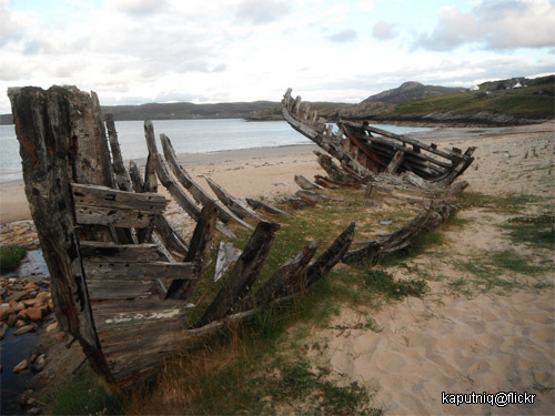
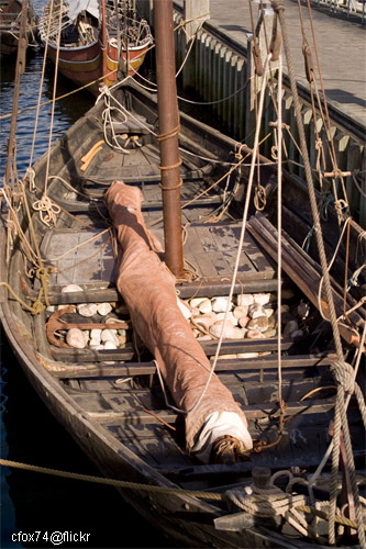
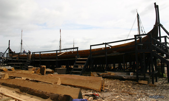
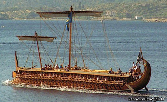
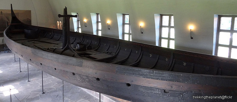
- Ships within ‘Souls itself are relatively rare. At least one pack has owned a ship. Nonetheless, realistic ownership of a ship is permitted. Ships found within ‘Souls are more typically small vessels owned by individuals — dugout canoes, small sailing ships, and rowboats are the most common ships found within ‘Souls.
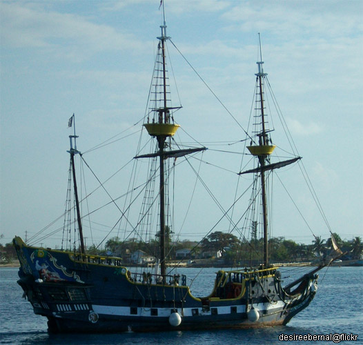
- Ships that require some form of fuel no longer work. The majority of vessels constructed (or salvaged and reconstructed, in some cases) by Luperci are based on ancient, medieval, and other early designs.
- Ship types include: dhows, galleys, triremes, cogs, longships, dromons, carracks, caravels, and early galleons.
Worldwide Travel
‘Souls is home to canines from all over the world. You can read about foreign cities and Luperci populations outside the Eastern Canada area over at the ‘Souls Wiki, but one of the most important things to consider is the time and effort it takes to get to ‘Souls from oceans away.
North & Central America

Most canines at ‘Souls originated in North and Central America. Obviously, it’s much easier to travel over land than it is to travel over sea. Nevertheless, there are few well-established routes through the Americas, so most must blaze their own trail.
Eurasia and North Africa
There are various trade routes around Europe and parts of eastern Asia, as well as sea travel routes around the Mediterranean. These trade routes are the easiest way for an individual to travel, as there are trading caravans or even just canines in motion along these routes, making for an altogether safer trip.
Transatlantic Travel to ‘Souls
Altogether, the route to ‘Souls from a European port may take as little as a month or as much as two months.
- Ports of Origin
The most typical sea route to ‘Souls originates in Lisbon, Portugal. Other ports of origination include Dublin, Ireland and other small ports along the European coasts. - 20–35 days (27 days average) — 3550 mi (5700 km)
The ships usually head south to Caribbean ports, most commonly Barbados. - 10–20 days (14 days average) — 2200 mi (3550 km)
Generally, a different ship must be taken from Barbados to Freetown or Portland. Ships that head north for Freetown and into the Gulf of Mexico or along the eastern coast of the USA are generally different from trans-Atlantic ones, built for shallower waters and coastal sailing, than the deep ocean vessels. - 3-5 days (3.5 days average) — 335 mi (290 km)
The port of Freetown was heavily damaged by a meteor in spring 2016 and effectively abandoned by its residents, though news may not have traveled enough to stop incoming boats. Ships headed for Freetown would probably divert to Portland, further south. One may travel overland to ‘Souls from Portland. Passenger ships directly to ‘Souls are extremely difficult to come across — trade ships may come now and again, but these are small ships and generally unwilling to take on passenger cargo. Ships that land in Portland are generally only interested in heading immediately south again.
It should be noted that ‘Souls, which comprises Nova Scotia and parts of New Brunswick, does not have a functioning port and that the waters around the peninsula can be particularly dangerous. Transatlantic travel directly to Nova Scotia, or even Portland, Maine, is not common or recommended. It’s much safer to head to the Caribbean, then take a second ship up along the North American coast.
South and East Asia, the Pacific Islands, and Australia
Established routes are rarer, so travel from Asia to other places is slower and more dangerous than many other places in the world. There are no significant port cities and sea travel is uncommon and irregular. Small boats may sometimes sail between south Asia, the Pacific Islands, and Australia, but few attempt to sail the Pacific Ocean (and even fewer make it).
Realism in Sailing
In general, sailing technology is most prevalent in Europe, the Middle East, and the northern parts of Africa. The Mediterranean contains the busiest waters in the world, followed closely by the European coast. Ships are most often seen in the Mediterranean Sea.
Ships in the Indian Ocean do occur, though only close to coastal waters. For sailing to occur in the Indian ocean, ships must sail through the Suez Canal, which has remained open and operational only because it lacks sea-level controlling locks.

Ships in the Pacific are extremely rare, contained mostly to the islands in the south Pacific. Trans-Pacific sailing is extremely difficult — it’s three times the length of an Atlantic voyage, after all.
Specific Guidelines
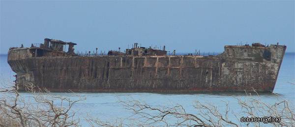
Luperci are not advanced sailors. Even the most experienced Luperci captain still has a primitive sail-powered boat, rudimentary navigational instruments, and almost no ability to predict far-off (sometimes fast-moving) storm systems. The ocean is dangerous for humans, even with our modern gadgets and knowledge. There are phenomenons such as rogue waves, squalls, etc. to endanger Luperci at sea.
- Boating accidents are extremely common when it comes to transoceanic travel, and deaths certainly occur from these accidents.
- Circumnavigation (sailing around the world) is not yet possible for Luperci.
- Luperci cannot sail extremely cold areas of ocean — e.g., the extreme Arctic, the Southern Ocean, etc. They lack icebreaker ships.
- Sailing around Cape Horn, South America, is extremely dangerous, as is sailing around Cape Agulhas (the southernmost point of Africa) — Luperci who undertake either of these ventures are almost universally lost at sea.
- Anywhere with extreme currents and tides is avoided by smart captains. One example of this is the innermost basins of the Bay of Fundy. Vicious tides and currents can ground or smash a Luperci ship against unseen rocks.
- Many canals have become impassable due to their locks becoming inoperable.
- Plastic trash vortexes may be difficult for Luperci to sail through or around.